What Is Ground Level In Construction?
What Is Ground Level In Construction?
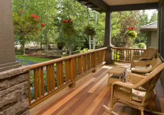
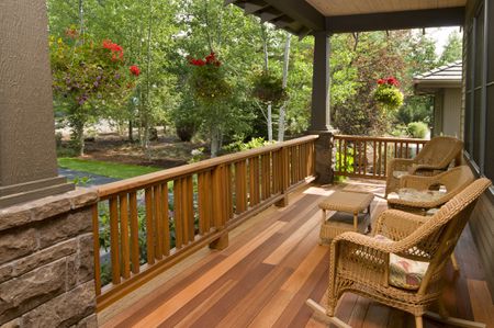
Ground level in construction is the starting point from which heights in a building are measured.
It is considered as the lowest point of an area and is used to help ensure accurate measurements for each floor of a building or concrete footing foundation.
Ground level also serves as a reference point for drainage systems and sewers so that pipes and trenches slope correctly, ensuring proper water flow away from the structure.
Additionally, it serves as a basis to locate other features onsite such as utilities and other infrastructure components.
What Is Difference Between Ground Level And Floor Level?
Ground level is the base height from which all other heights are measured, typically in relation to sea level.
Floor level, on the other hand, is determined by the elevation of a building’s floor from ground level.
A building may have multiple stories and thus multiple floor levels that may vary depending on its construction and design.
As such, it’s important to keep in mind that the terms “ground level” and “floor level” are two distinct measurements: while ground level remains constant, floor level can change between buildings or even within a single building.
Where Is Ground Level Measured From?
Ground level is the elevation of land relative to a reference datum, which is often mean sea level (MSL).
The global elevation of ground level is measured from MSL in order to provide a standardized reference point.
Ground levels can also be measured and compared using physical points on the Earth’s surface such as mountain peaks, rivers, lakes and geographical features like hills or valleys.
Local ground level may vary due to factors like elevation, soil type and climate conditions. Ground level measurements are used by scientists and engineers in a variety of applications including construction, hydrology and land surveying.
Where Is Ground Level On A Sloping Site?
Ground level on a sloping site is determined by the established grade or contour of the land.
Grade or contour lines are imaginary lines drawn to indicate the desired elevation of the ground surface, which can be higher or lower than existing grades.
The point at which the grade line intersects with the existing surface is considered “ground level.” This information is important for building and landscaping projects as it helps establish how much soil must be moved and/or where to place different components within a project.
What Is The Height Of Ground Level?
Ground level is the surface of Earth- that means the ground underneath your feet. It is an important parameter to measure the heights of various objects, especially when building structures or measuring elevations for mapping purposes.
Generally, ground level is measured in terms of elevation above/below sea level in a geographical location.
In some cases, it may also refer to mean sea (tidal) level or even average terrain—the local average height above terrain level.
The height of ground level varies from place to place depending on its geographic characteristics such as altitude, slope and water content in soil.
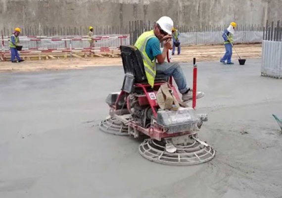
Why Is Leveling Important In Construction?
Leveling is an important process in construction because it ensures the accuracy of structural formations, measurements and calculations.
- It is vital for constructing a structure that correctly adheres to the blueprints or design guidelines, as well as meeting all relevant safety standards.
- Leveling allows builders to ensure that they are putting together components in the correct order and at the right height, angle, position and size.
- Furthermore, leveling can also help in determining when a specific component should be replaced or repaired before it affects other parts of the structure.
- Finally, it helps maintain overall quality control over the entire project.
How Do You Raise The Ground Level Of A Slope?
Raising the ground level of a slope involves using soil and fill materials to build the height of the area.
- The first step is to remove any vegetation and existing soil in order to create a clean slate for building up.
- Next, a 1-3 ft layer of gravel should be spread over the entire area, compacted with a plate compactor, then another 2 inch layer applied and compacted in the same way.
- After that, any necessary drainage pipes should be laid out and final layers of topsoil installed, again compacting it all with the plate compactor at each stage.
- Finally, hydroseeding or sodding can be used to give your slope its desired green look.